SANTA BRIGIDA
Dolcedo
OBSERVE THE LANDSCAPE
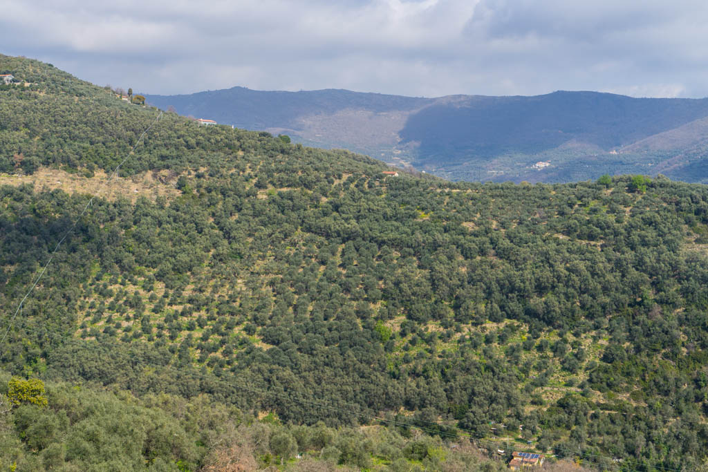
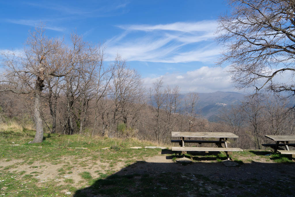
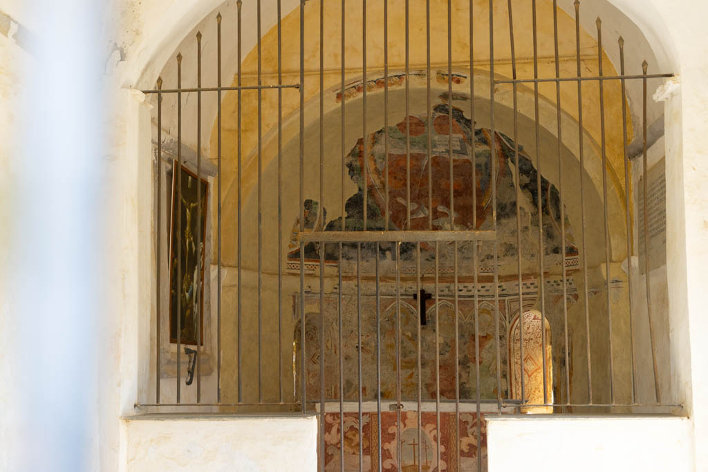
The landscape of the olive grove of the Prino valley and the San Lorenzo valley, with the village of Pietrabruna and the cultivated fields, with recent plantings (anemones, lavender, ..), gives way to the woods, in the higher parts, up to the watershed . Under the trees you can see very well the terraces of the wood, now abandoned, a sign of human activity. The rupestrian chapel of Santa Brigida, dating back to the 15th century, had a cistern that collected rainwater from the roof, used to water the numerous mules that transported hay from Monte Faudo and salt from the road that reaches Limone Piemonte.
ACTIVITIES
Excursions:
- Via del Sale, paved in stone: you reach the Bastia pass (casone dei Partigiani) and continue to Monte Faudo (1149 m. Asl), or to Monte Follia;
- Walk of the Bridges: Path in the San Lorenzo Valley to Pietrabruna, from which you can reach Boscomare, Lingueglietta, Cipressa;
- Path in the municipal wood of Dolcedo (100 ha) and paths that descend towards Dolcedo, among vineyards and olive trees.
- Bike path / horse trail: from Dolcedo to the chapel of Santa Brigida, then continues on the ridge towards the Bastia Pass and the Vena Pass (Riding school in Dolcedo).
To visit:
- Novaro Wellness Park (Costarainera) and art parks;
- Villa Biener (Judith Torok) in Cipressa and Sculpture Park among the worlds (Carin Grudda) in Lingueglietta;
- Bellissimi (the land of paper balloons) and Lecchiore lakes;
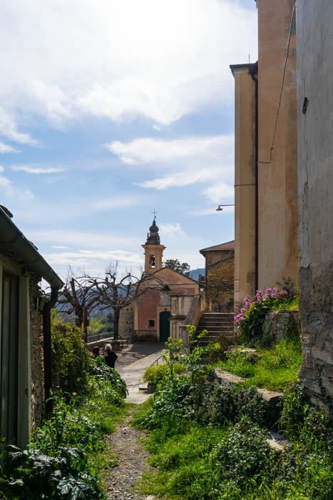
- historic center of Dolcedo.
Clicking the links on the following map will open a new window with the related Google Maps page. You can easily make your company appear on Google Maps by signing it up for free in Google Business.