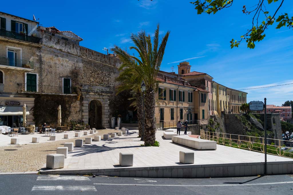
IL FUNTANIN
Ventimiglia Alta
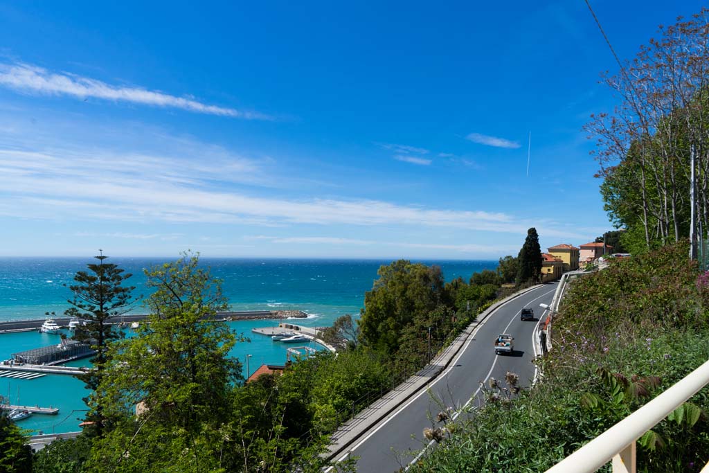
OBSERVE THE LANDSCAPE
Overlooking the new marina, the balcony allows you to appreciate the passage from the high and jagged cliff, to the west, to the beach of Ventimiglia towards the east. Gateway to the medieval historic center, near the MAR Archaeological Museum in the Fort of the Annunziata, invites you to walk the stretch towards the French border, between gardens of prestigious villas, nurseries of floriculturists and crops. The stretch towards France has a rich Mediterranean vegetation in addition to exotic plants from the various gardens and botanical collections (including the Hanbury acclimatization gardens). From the Aurelia there is access to a lower path towards the caves and the prehistoric museum of Balzi Rossi and to a higher one with breathtaking views, towards the villages of Mortola Superiore and Grimaldi.
ACTIVITIES
Routes and places to visit:
Ventimiglia alta historical center (Baptistery, Cathedral, S. Michele church), hanging gardens and access bridges in via Collabassa;
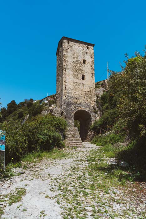
Pedestrian path on via Julia Augusta up to Porta Canarda and Latte, archaeological museum in Forte dell’Annunziata, path next to the museum, which descends on the cliff, towards the La Pietra viewpoint;
Roman archaeological site Albintimilium;
Towards France: villas on the Latte plain, Hanbury gardens, Balzi Rossi museum.
Clicking the links on the following map will open a new window with the related Google Maps page. You can easily make your company appear on Google Maps by signing it up for free in Google Business.